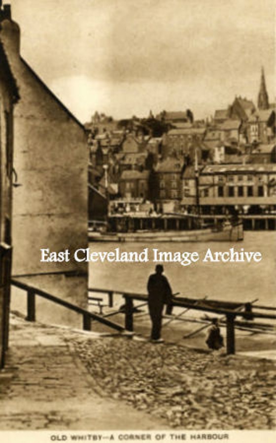
“A Corner of the Harbour” is the description of this postcard view, probably dating from the 1930’s and shows a very quiet spot. Opposite the dock end area on the Church Street side.
Image courtesy of a supporter of the Archive.
|
|
||
|
“A Corner of the Harbour” is the description of this postcard view, probably dating from the 1930’s and shows a very quiet spot. Opposite the dock end area on the Church Street side. Image courtesy of a supporter of the Archive. 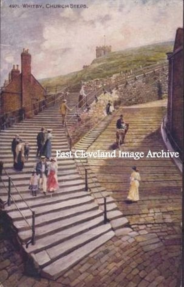 More naturally known as the 199 Steps, this hand tinted postcard of the steps portrays a more gentler pace of life. We are more used to a vaster throng on these steps now; regardless of the season. Image courtesy of a supporter of the Archive. 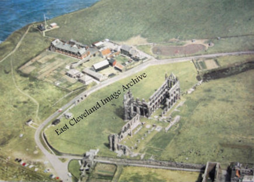 This postcard view of Whitby Abbey gives a true impression of the size of the whole building. When first built it must have been very apparent from all directions; a landing mark for all seafarers as well as a pointer for all those travelling across country. Image courtesy of a supporter of the Archive. 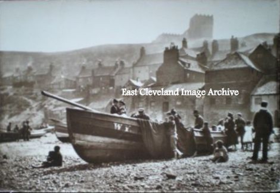 Our postcard shows a fishing boat on Tate Hill Sands, with the Abbey in the background; but notice how smoky th whole scene appears. More than just Fortune’s smoke house must have been to blame! Image courtesy of a supporter of the Archive. 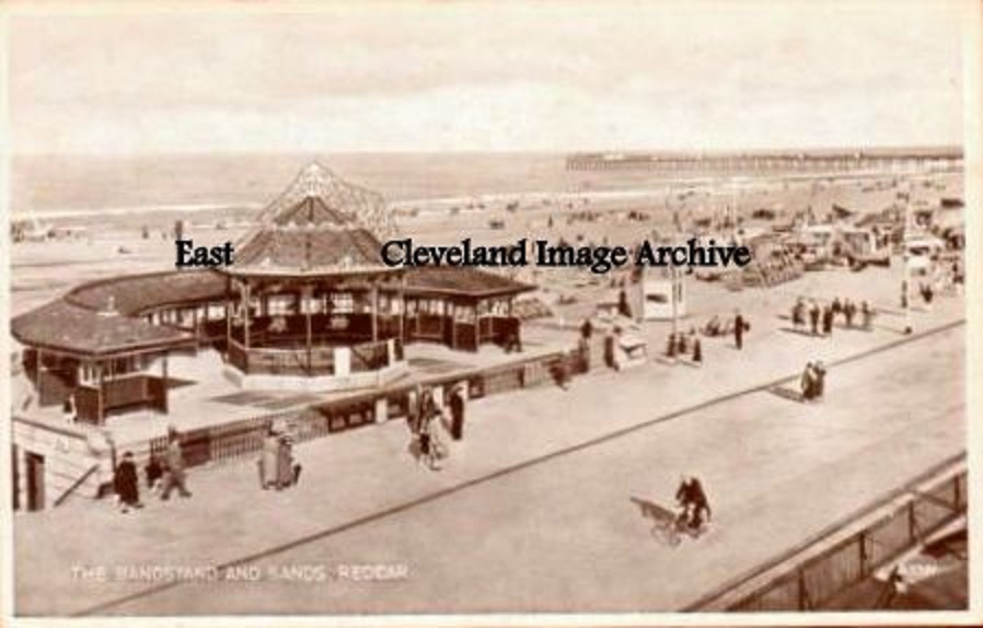 A further view, possibly even earlier in the 20th century than our other view. Image courtesy of a supporter of the Archive 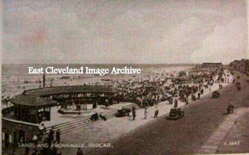 A view of the bandstand on Redcar promenade from the days when people dressed to go an walk along the ‘prom’! Image courtesy of a supporter of the Archive. 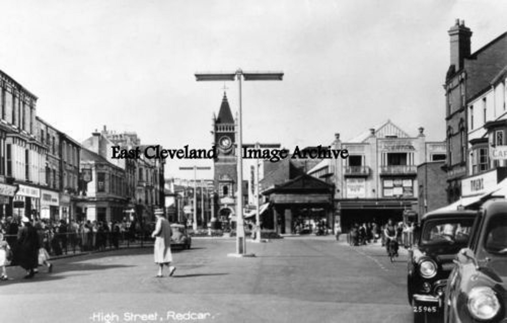 Our postcard view shows Redcar High Street in the 1950s, do you remember how the bus stops for the 78 (Lingdale) and 79 (Loftus) United services used to pick up outside Tylers shoe shop – clearly visible in this view – no bus shelters in those days! Image courtesy of a supporter of the Archive. 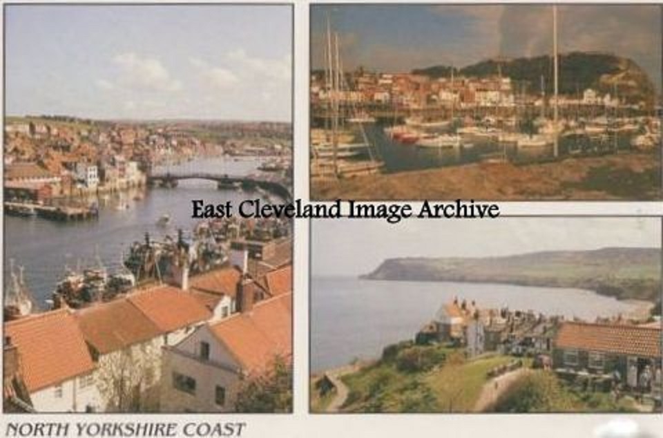 This delightful card gives views of Whitby, Robin Hoods Bay and Scarborough. Although a modern example, it gives an insight to our heritage coast and the many places to visit. Image courtesy of a supporter of the Archive. 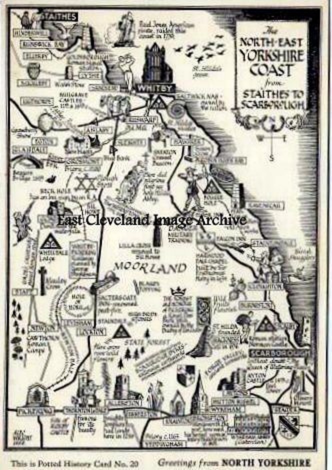 A delightful postcard view is presented as a line drawing map of the many places to visit on the North York Moors. It only portrays a fraction of the wonderful places and views that are available in our local vicinity. Image courtesy of a supporter of the Archive. 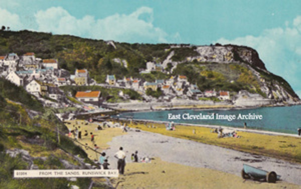 People are obviously enjoying the beach in this post 1970’s this colour postcard view, in which the solid sea defence wall can be clearly seen. Image courtesy of a supporter of the Archive. |
||
Recent Comments