|
|
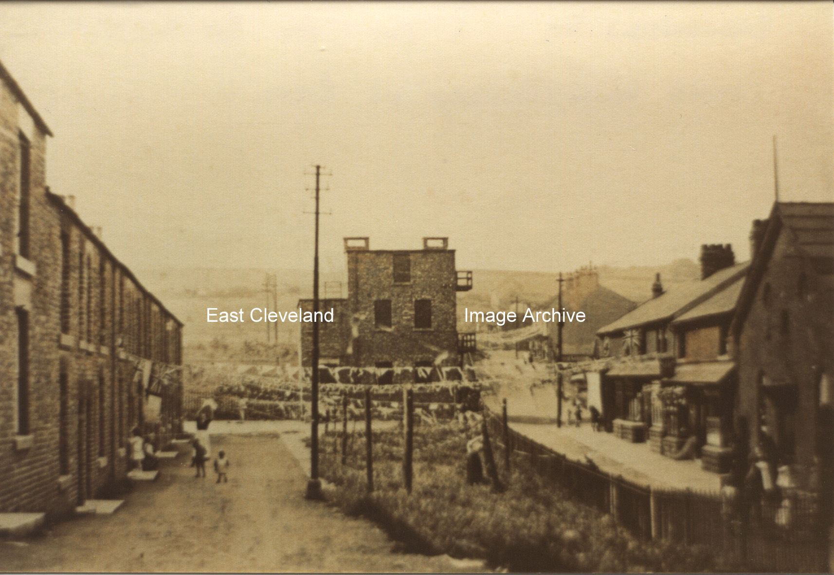
This view here is taken from Kilton Lane (outside the fish and chip shop) towards the Power Station and part of Muriel Terrace. At the bottom right hand side of the view can be seen the former Carlin How Grand cinema. This still has the doorway, canopy, windows and lobby on the gable end. We now are told by Peter Hallinan: ”this was the ’Grand Electric Theatre’ and was owned from 1915 to 1929 by Thomas Thomson, who was a pioneer of cinema ownership in the North East of England in the early 20th century.”
Terry Clark tells us ”The bunting as you say was jubilee flags and the power station is at the top of Queen Street and in it place now is a modern-day community centre. I am Carlin How lad, born and bred; I was born in Rawlinson Street on the 6th June 1965 (’D Day’ 20 years after WWII ended) and behind the power station was a black wooden building called the Club Hall as it was the very first youth club in Carlin How; then the bottom end of Carlin How had their very own youth club behind St Helen’s church, it later moved to the building next to the Chapel near Corus gate house (it was called British Steel Corporation – BSC – or as us young folk call it Billy Smart’s Circus).” Stephen Thornton asked about ”a foundry in Carlin How, on Bell Vue Terrace….It may have been on the site of the ’Old Picture House’.” Our researches have uncovered: ”Yes, the old picture house was used as Eric Peel’s foundry, until he got the new one built near the British Legion or the ’Bullet’ as it is locally know, the foundry was built where Bells Huts used to stand. Eric Peel went into partnership with ? Jones hence the foundry being known as Peel & Jones.”
Image courtesy of Carlin How Community Centre, many thanks to Derick Pearson, Terry Clark and Peter Hallinan for the updates; also thanks to Stephen Thornton for the enquiry as well as to Brian Jemson (via Joan Jemson) and Maurice Pearson for the updates.
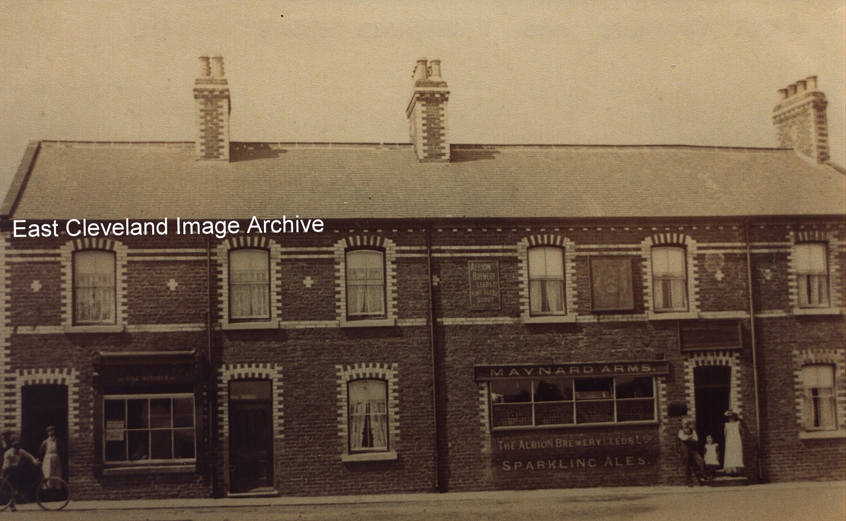
Do you remember the butchers, or the bank (now believed to have been Lloyds, then followed by Martins) that was at that corner before they extended the Maynard Arms, now a car park occupies their space. From the left the properties were Riggs (butchers shop), Mrs Collins (lodging house) and the four panelled window of the Maynard Arms (landlord was Thomas William Wood). This view of the Maynard Arms shows the landlord Thomas William Wood, his wife and eldest daughter Alethia (Lethie) standing at the door. Roger Barwick tells the Archive: ” My grandad Harold Bowling became landlord at the Maynard Arms around 1929 I think. He had been steward at the club from 1911 when it opened. Quite a number of people will remember his son Harold or Tim as he was known he became a policeman and was awarded the British Empire Medal for saving people during a storm in Staithes.”
Information kindly supplied by Derick Pearson and Jean Wiggins, also thanks to Alwyn Wood and Dan Holme for updates.
Not the Manchester Coronation Street, but a bit nearer home; Carlin How Coronation Street with the air raid shelters in place 1943. The young boy in the photograph is named as Alan Dale; wise child has his steel helmet with him.
Image courtesy of Carlin How Community Centre.
Another row of cottages falls in Carlin How, they were very near to the works. Rather a dangerous place to leave a car, don’t you think?
Fred Miller tells : “I was born at number one Front Street on 21st December 1937; later moved to 26 Westray Street. I have fond memories of ‘The Bottom End ‘Bonfire on the top common, playing in Hally Ballies. I still visit every year mostly to visit my old friend Peter Libby”.
Thanks to Fred Miller for that memory.
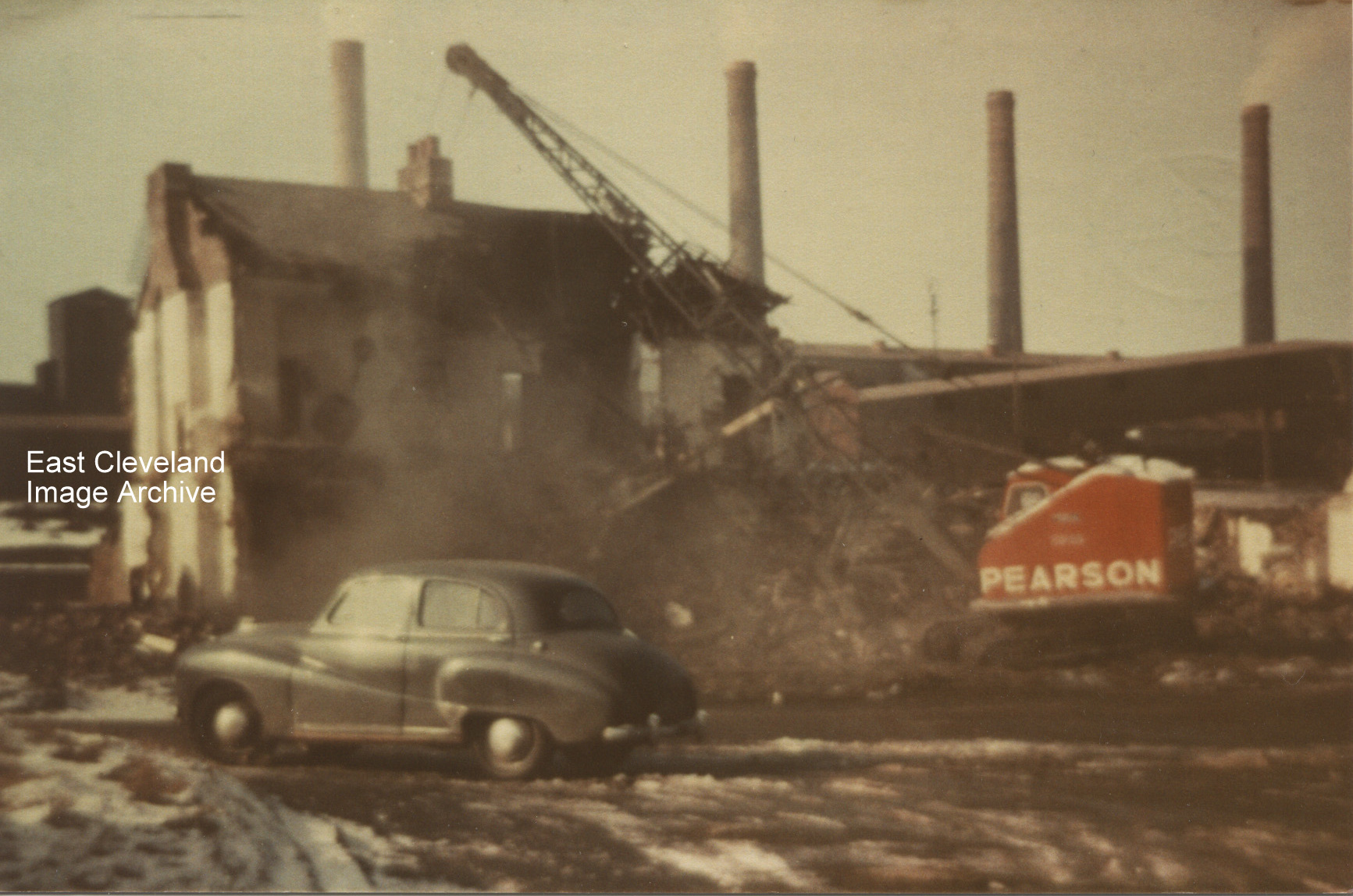
Hands up all those who remember Wood Street at Carlin How and for those who don’t, well it stood where the car park for the Working Men’s Club is now. This photograph shows the demolition of Mr Walter Womack’s and Mr Walter ‘Wally – Taxi’ Goldby’s houses. Alan Pearson tells us: ”I was born at 16 Wood Street and was always led to believe that it was the oldest street in Carlin How. From looking at census records; Wood Street, Dixon Street, Steavenson Street, Wesley Terrace, Railway Terrace and Bells Huts all appeared between 1871 and 1881. Nos 1-26 LIC (Lofthouse Iron Company) in 1881 became Long Row in 1891 and Wood Street in 1901. ‘Woodhouses’ in the 1881 Census became Wood Cottages, then Bells Huts in 1891 Census. 1-5 Carlin How Road became 1-5 Reading Room, then Wesley Terrace. However, in 1871 there were 2 houses listed as Carlin How Lodge (where were these?) and 36 un-named, unnumbered cottages. It seems likely that these were part of 1-56 Carlin How in 188; which became in 1901 Maynard Street, Front Street and The Square – so was one of these the oldest street in Carlin How?”. Derick Pearson also tells us: “I took this photograph, our family owned two houses in Wood Street at that time; number 21 and the one my sister lived at no 7. I lived there with my children up till around 1975. This photograph was taken some time after that; Taffy Williams from Lingdale was one of the demolition merchants and this was the start of the demolition”.
Lynn O’Neill commented: “I was born at 22 Wood Street in 1946. We moved to Loftus in 1948. I have not been back to this area for a long time.” Joy Merrett replied: “My great-grandparents, Robert and Lucy Glover lived here. He died in 1942 so perhaps your parents bought it from my family. I’d be interested to hear from you, especially if you have old pictures!”
Image courtesy of Derick Pearson; from a collection compiled by Derick Pearson (also information regarding the two houses shown), thanks to Alan Pearson, Derek Dobson, Derick Pearson, Lynn O’Neill and Joy Merrett for the updates.
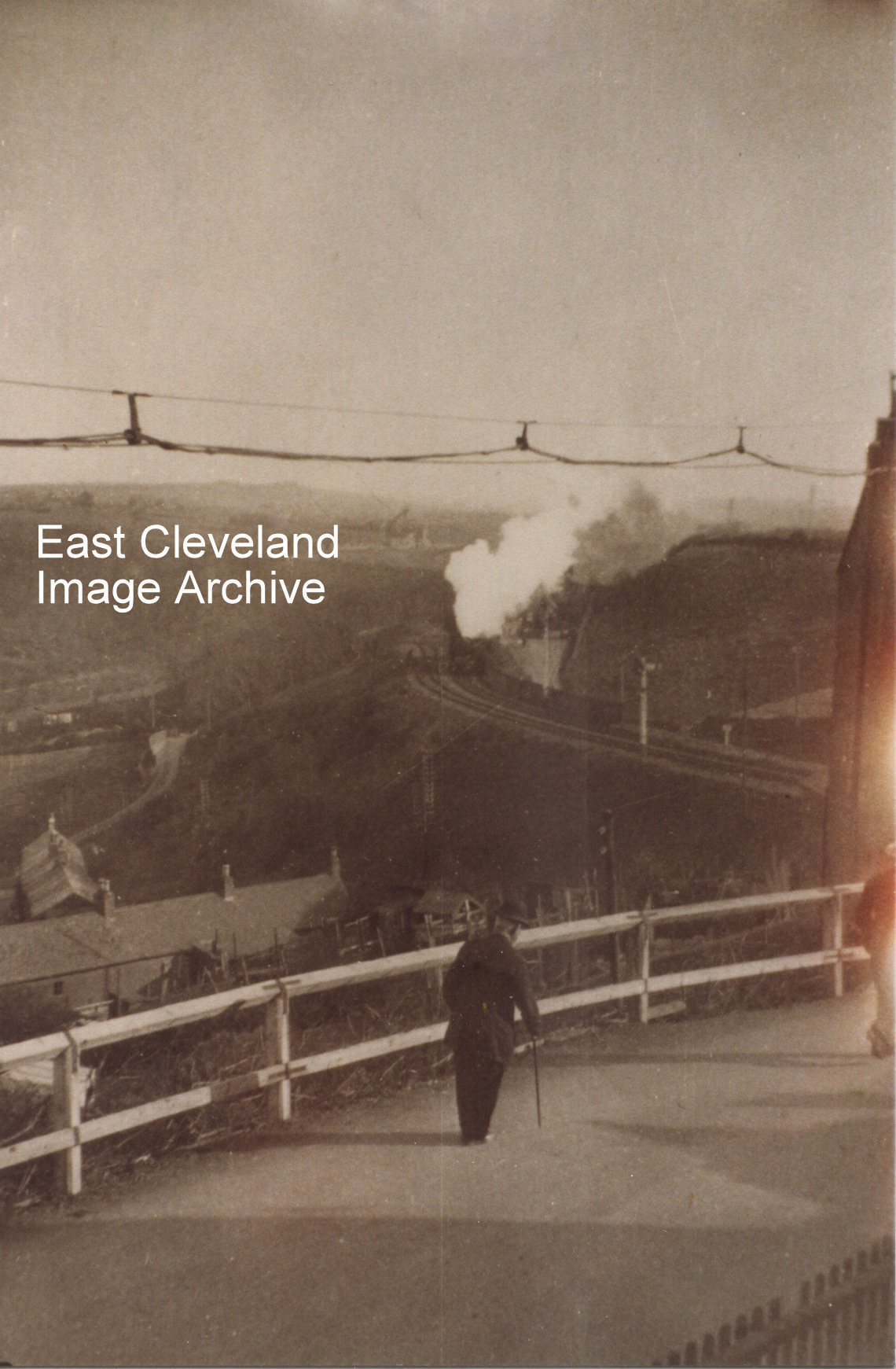
This is a view from Mount Pleasant Road/Wesley Terrace in Carlin How, looking up the valley. The building to the right is the gable end of the Zion Chapel now disused and standing at the head of the footpath to the Skinningrove Valley. Simon Chapman tells us: “The first leg of the ’Zig-Zag’ can just be seen running down into the valley next to the protection signal, making it look like a double track. I would guess the date as about 1925. The kilns at Liverton Mines have been dismantled and a solitary headgear awaits demolition”.
Thank to Simon Chapman for dating and the update.
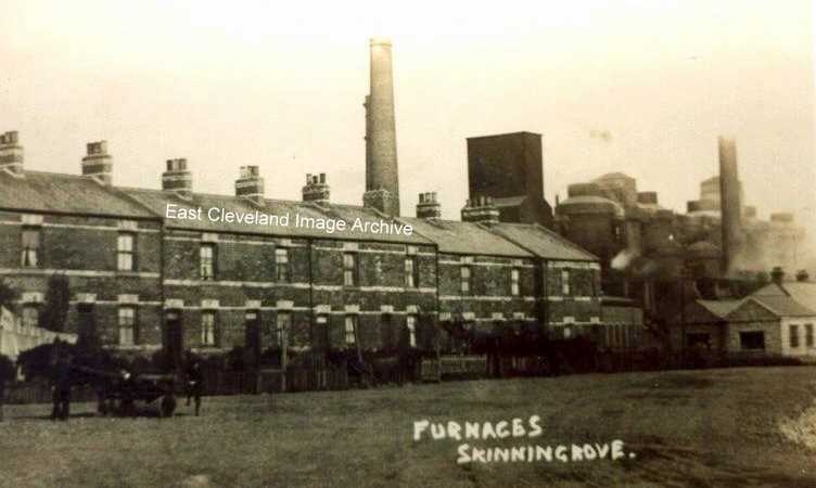
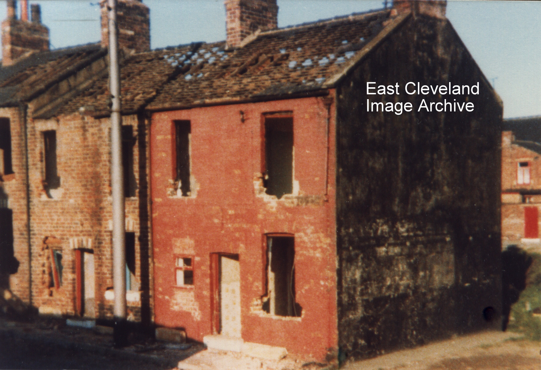
No need to wonder how this row and the one next to it got their name seeing the close proximity of the furnaces. We have the following reminiscences of this terrace; John Winspear tells us: ”I remember them well. I used to walk past these houses every working day from September 1955 till January 1964, on my way to work in the the fitting shop which was situated on the land immediately behind and to left of the two rows of houses. I also delivered sunday papers there for five years. A wonderful group of people who had little in the way of materialistic value but were generous to a fault. I recall the names of only a few the Garbutts, the Parrishs, the Summers; I went to school with sons and daughters of them all. Doris Summers worked in the drawing office as a tracer, her dad Charlie was the trainer for the works junior football team. Salt of the earth”. Derick Pearson also says: ” I also remember the McGuires, the Swales, the Whartons, the Smithies, the Pearsons and others”. Sue Doig (nee Kennedy) tells us: “In 1911, my grandfather, Patrick Kennedy who worked in Skinningrove Main, and his wife Mary and son John lived at 3 Back Row, Furnace Cottages with the owner, Mark Ford and his family”.
Thanks to John Winspear and Derick Pearson for these memories; also to Sue Doig for the update.
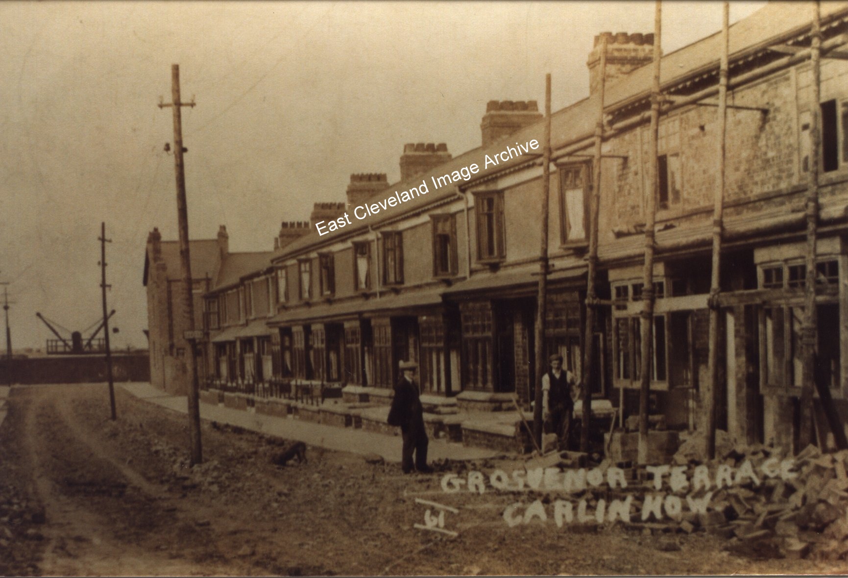
Initially the Archive noted this picture of Grosvenor Terrace in 1911 appeared to show completion of the terrace. However Alan Pearson advised: “This would only be completion of the half of Grosvenor Terrace up to Stan Massey’s house. The 1915 Ordnance Survey map seems to show the top half still uncompleted, although Queen Street, Coronation Street, and part of Gladstone Street are there by then”. However the image also provoked discussions; Derick Pearson advised: “Note the heavy gauge wood scaffolding that was used in those days. It took a lot more putting together than the man today could with a couple of spanners hung in his side pods and a handful of ready-made clips “. Eric Johnson also commented: ” I noticed the ‘double’ jib crane, in the background of the photograph, which appears to be inside the works. I have some knowledge of steelworks machinery, but this construction puzzles me”. Derick Pearson assisted with: “I have only seen this once before at Warrenby Steelworks in the mid 1960s. It was mounted on a long bed railway truck. It was not a Jib Crane, but a different configuration altogether. Now if it was on a truck as the one I saw at Warrenby, could it have been Railway equipment? More importantly, there were differing dates for the filling in of the viaduct and the work which went on around the lower lines under the viaduct, but as this is 1911 it could well have played a part in that work as the work was not complete until 1913 according to most sources. When the photo is zoomed in, one can clearly see lifted loads on both sides. The one on the right is high up about the height of the center rope drum top and the one on the left just above the sleeper fence/wall. Is it what might be called a Double Derrick type”. The Archive asks can anybody help in identifying the gentlemen in the photograph?
Image from a collection compiled by Derick Pearson; thanks to Eric Johnson, Derick Pearson and Alan Pearson for the updates.
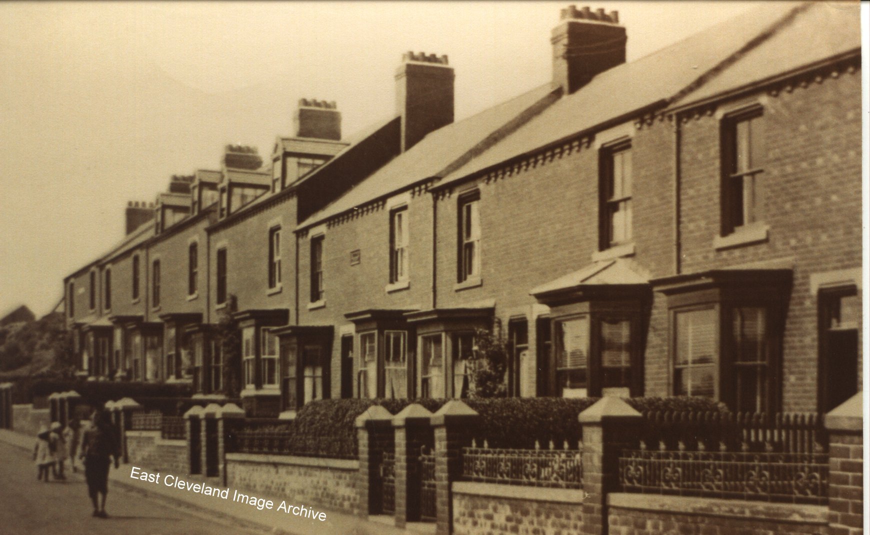
How quiet the road where children can wander or play without fear; how it is changed now!
Image courtesy of Keith Bennison.
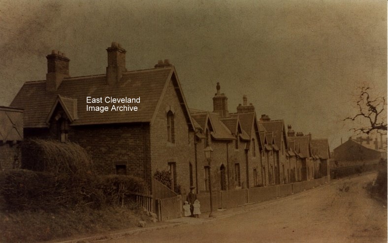
An early photograph of Railway Terrace, Brotton Road in Carlin How; the picture hides the then probably almost ”demonic” sight of the works behind this terrace for the railway workers houses which were separated from the works by the Saltburn to Whitby coast line. Neil Suckling tells us: ”The first house being the home of my great grandparents (Alf and Laura Suckling) from about 1885 till 1925, my grandad ,Andrew Suckling,was born there in 1902.” The 1911 Census lists the residents as: ’Alfred William Suckling (plate layer NER), Laura Suckling (Alfred’s wife), daughters Mary & Lydia, sons John & Andrew. All the children having been born in Carlin How.’ In later years Andrew Suckling was treasurer and Preacher at the High Street Methodist Chapel in Staithes.
At the extreme left of image is the water tank used by the locomotives to fill up before proceeding to Cragg Hall and the line towards Brotton. The building in the background (far right) was the engine shed built for the locomotives that worked the Skinningrove zig-zag. Until recently the floor, foundation stones, filled-in ash and inspection pits were all visible. (Information supplied by Mr Thompson, Derick Pearson and Neil Suckling)
Can anybody assist in identifying the lad and two small children included in the photograph.
Many thanks to Neil Suckling and Derick Pearson for updates. Also to Alison Crooks for her update which the Archive will follow up and be in contact.
Page 6 of 8« First«...45678»
|
|
Recent Comments