|
|
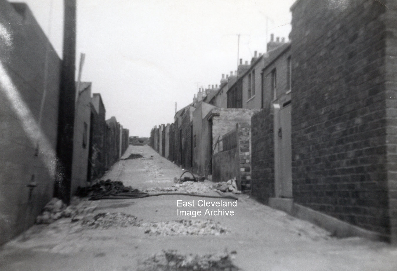
Eric Johnson took this set of photographs recording the damage caused to houses in Gladstone and East Streets by the collapse of mine workings c.1962. This is the view looking up the backs with Gladstone Street on the left and East Street on the right. The gas and water mains were broken in several places and the road had to be dug up.
Image and information courtesy of Eric Johnson.

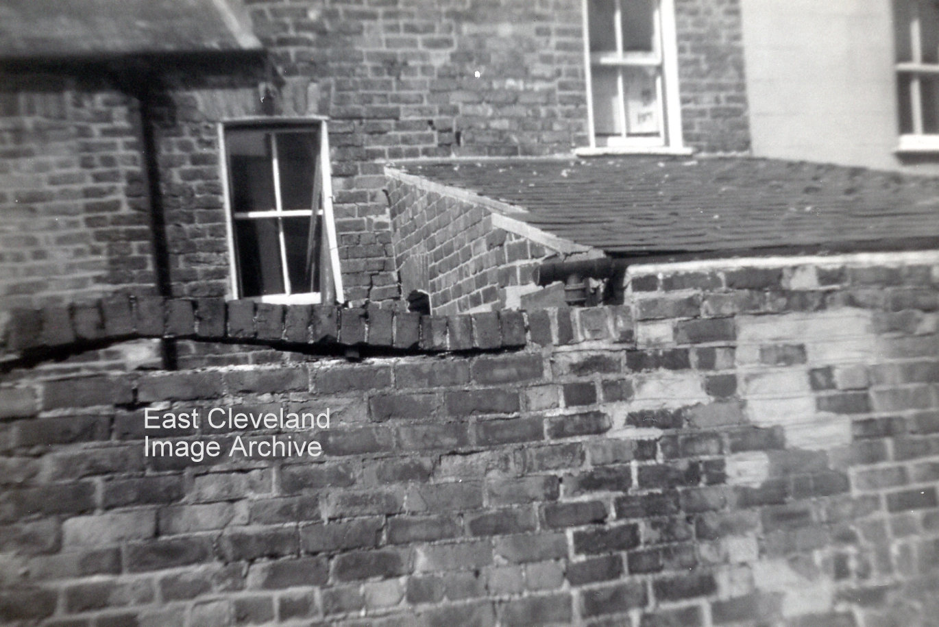
Damage to the walls of numbers 4 and 5 East Street caused by the subsidence is clearly visible!
Image and information courtesy of Eric Johnson.
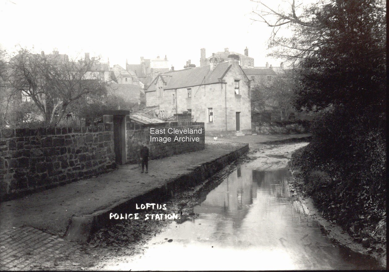
Houses at the bottom of Gladstone Street were also affected. Cracks appeared in the walls and the bricks on top of this yard wall lifted. When they were repaired three houses were knocked into two.
Image and information courtesy of Eric Johnson.
Complete with the requisite street urchin! More modern times mean that water levels are more ‘manageable’ and less of a traffic hazard, except when!!
A different view of the footbridge over the beck at the junction of Water Lane and Dam Street, with a glimpse of Church Row and St Leonard’s church through the trees.
Image courtesy of Beryl Morris.
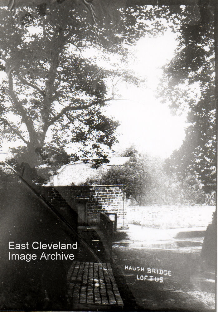
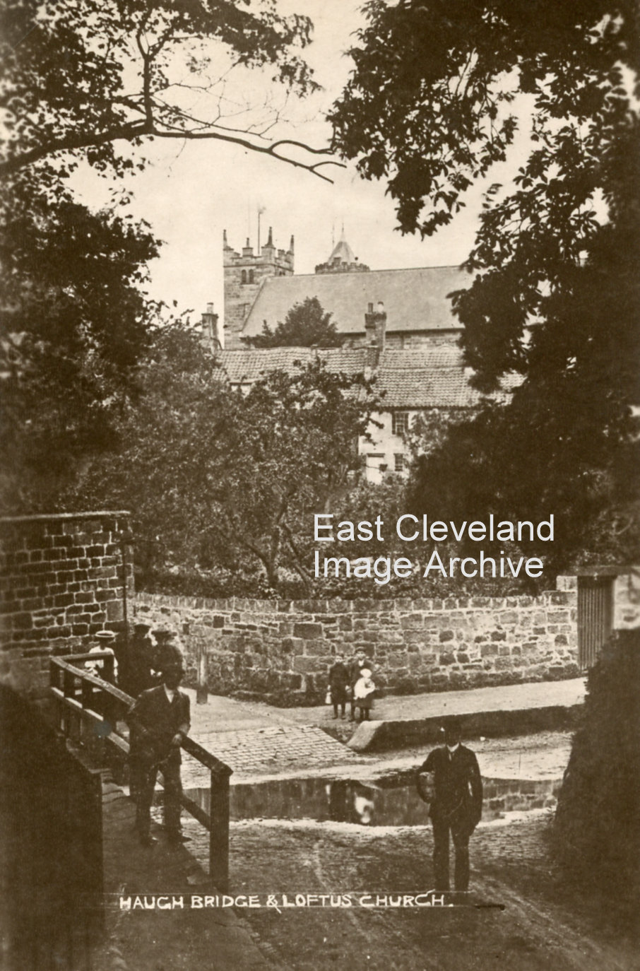
The sun streams through the trees but we can still see the bridge at the entrance to the woods with the stream running under it. Haugh means ’low lying land’ and this was the last of the water splash in Loftus, the road was made of slag bricks and at a much lower level than the roadway of today.
Haugh bridge I have been told is the name of this bridge but I am sure many of you like me will know it as Dam End and the entrance to Espiner’s woods, now named Hancock’s woods. The men on the bridge seem to be deep in conversation probably putting the world to rights.
Image courtesy of John G. Hannah.
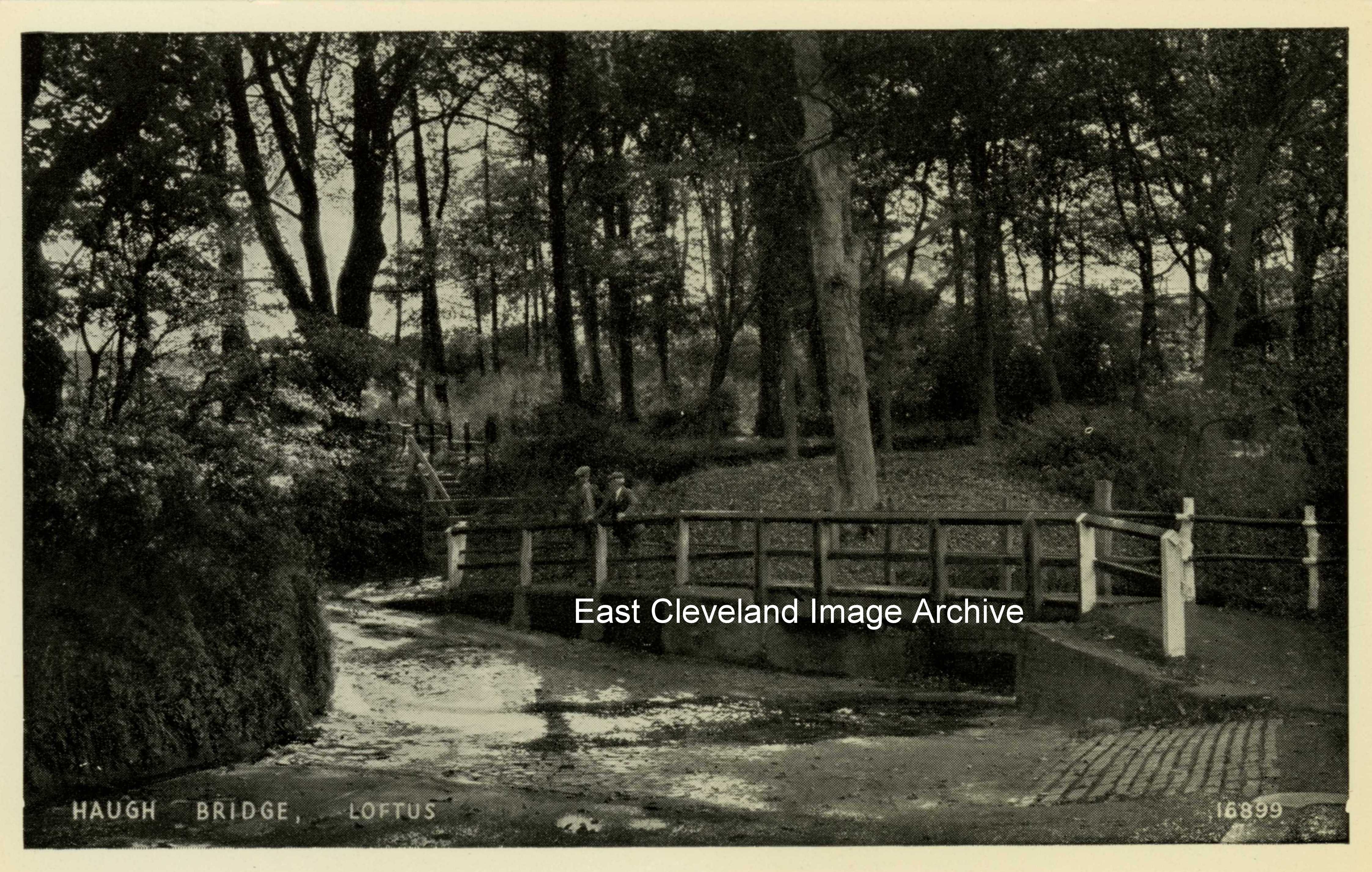
A peaceful photograph showing the entrance to what used to be Espiner’s wood and the road leading up to South Loftus. The ford has now been piped under the road. As Mike Hopper tells us: “I always knew it as ‘Espiners’ wood but now for some reason it’s called ‘Hancocks’?” The new name appears to have come about in recent times following the activities of Loftus Civic Trust, etc!
Many thanks to Mike Hopper for that comment.
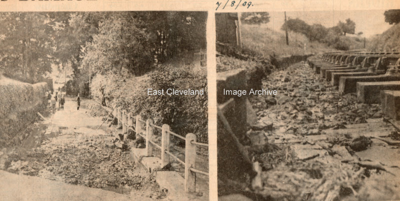
These were the scenes after a cloudburst on 7th August 1939. Rails and sleepers at cemetery corner Loftus were undermined by the floods; the image on left shows a section of the road leading to South Loftus. The images are taken from a collection of Northern Echo newspaper cuttings.
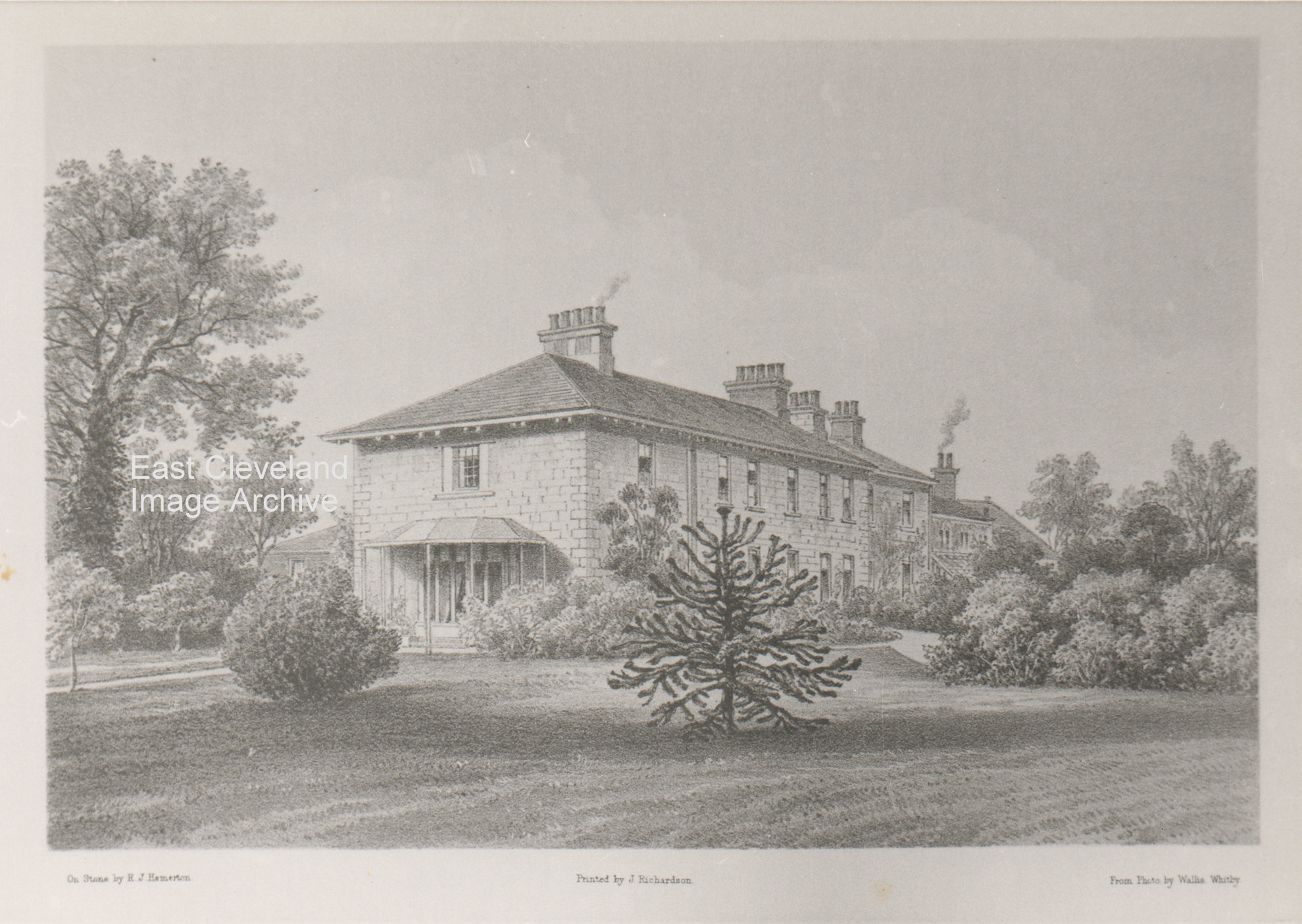
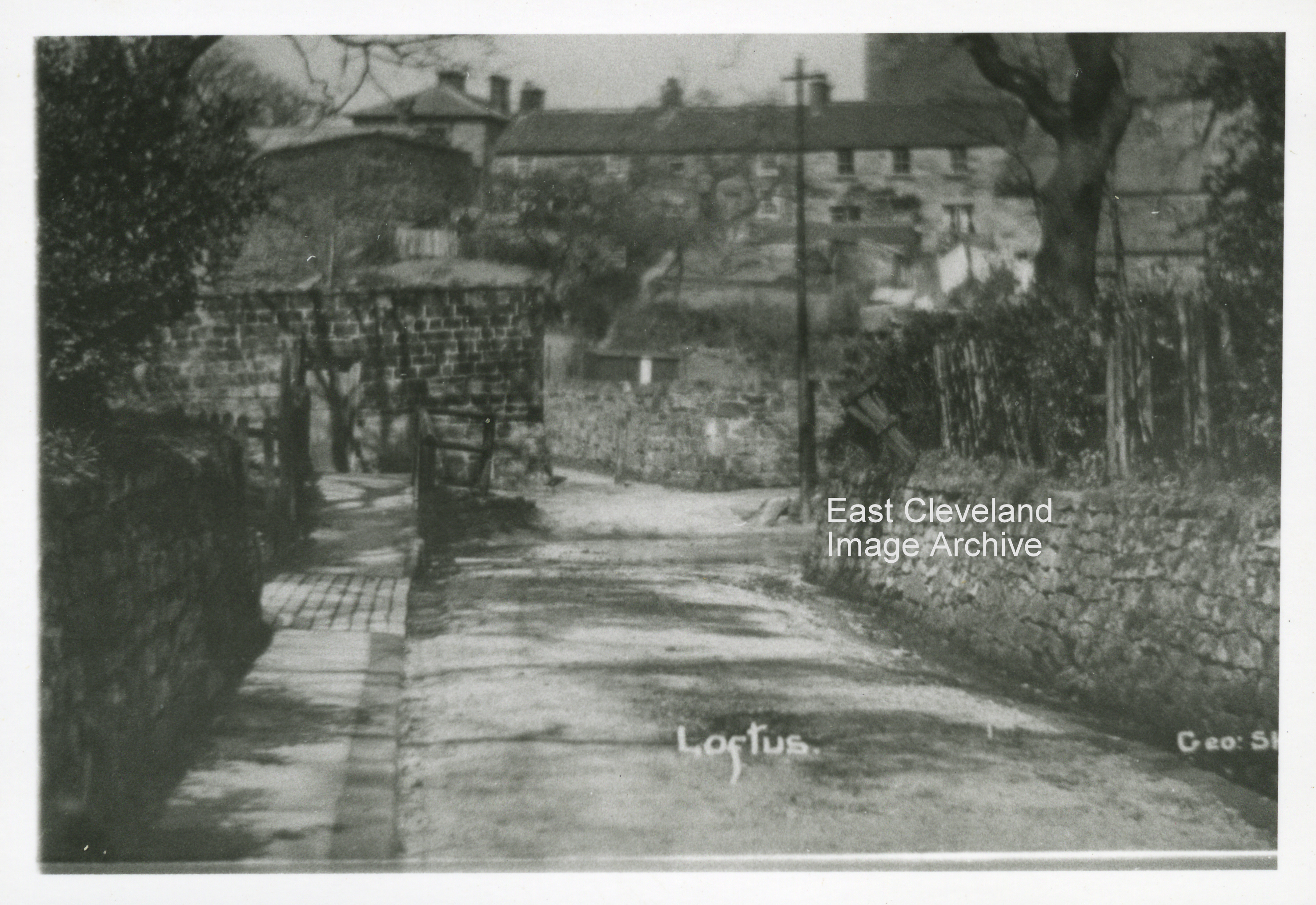
We’ve wondered about this one for a long time; having just found a similar image in Jean Wiggin’s book, ’Loftus in old picture postcards’ and cross-checked the hall out in Street View on Google Earth. It’s hard to recognise now, with Hall Grounds built up all round it, but the hall itself remains very much as it is in this picture. The image came from a printed selection by J. Richardson of Loftus, although as yet have not defined a date of publication.
Image courtesy of the Pem Holliday Collection.
Page 7 of 8« First«...45678»
|
|
Recent Comments