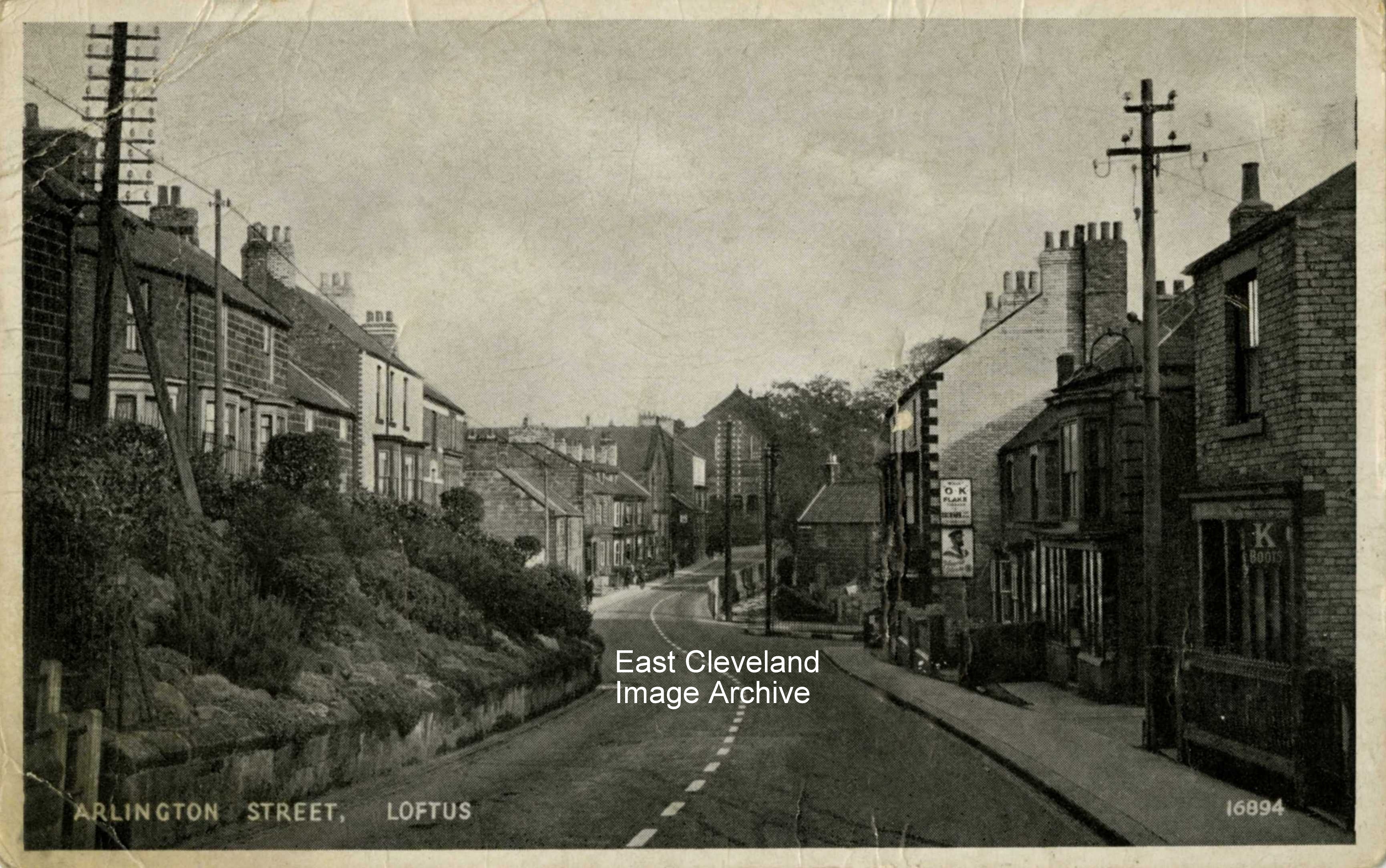
This J. Salmon postcard view of the High Street and Arlington Street, Loftus; is unused and so possibly dates form the early part of the 20th century. We would welcome defining detail.
Image courtesy of Jean Hall.
|
|
||
|
This J. Salmon postcard view of the High Street and Arlington Street, Loftus; is unused and so possibly dates form the early part of the 20th century. We would welcome defining detail. Image courtesy of Jean Hall. 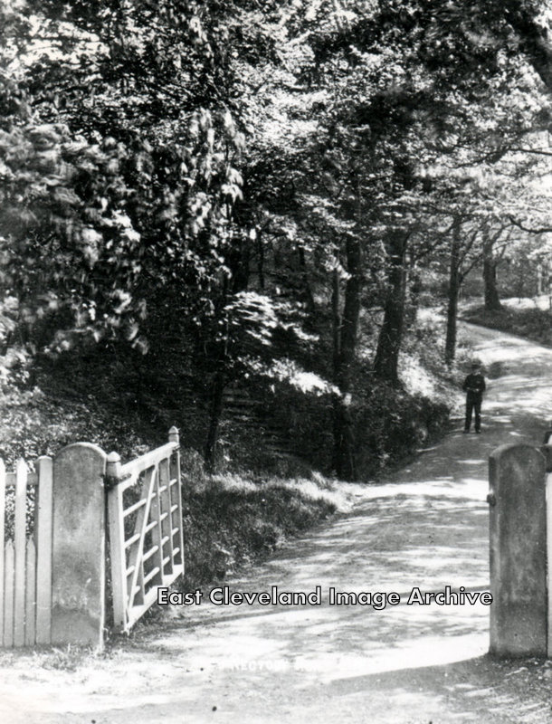 Is he checking his map? Is he lost? Perhaps you can tell us where this is? And as Stacey McP now tells us: ”That’s the back drive (the original one) up to Linden House (the old Rectory).” Image courtesy of Mrs Sakaropolous and thanks to Stacey McP for the identification of the location. 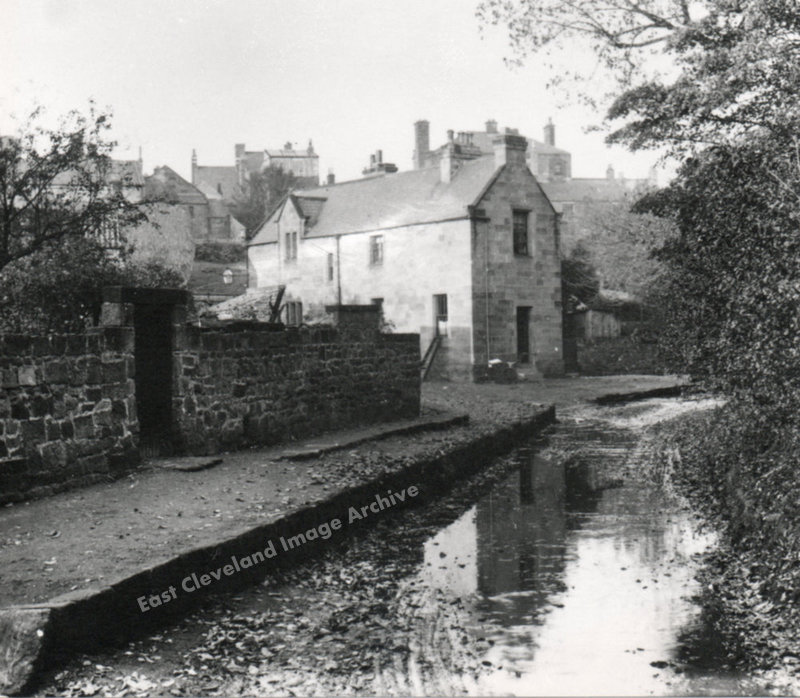 This view of Dam Street, is before the beck was channelled, more prone to flooding than even the present day. It shows the old Loftus Police Station; in 1891 the Police Inspector was Thomas Allen and George E. Nawton was a Constable, who boarded at the Station Hotel. 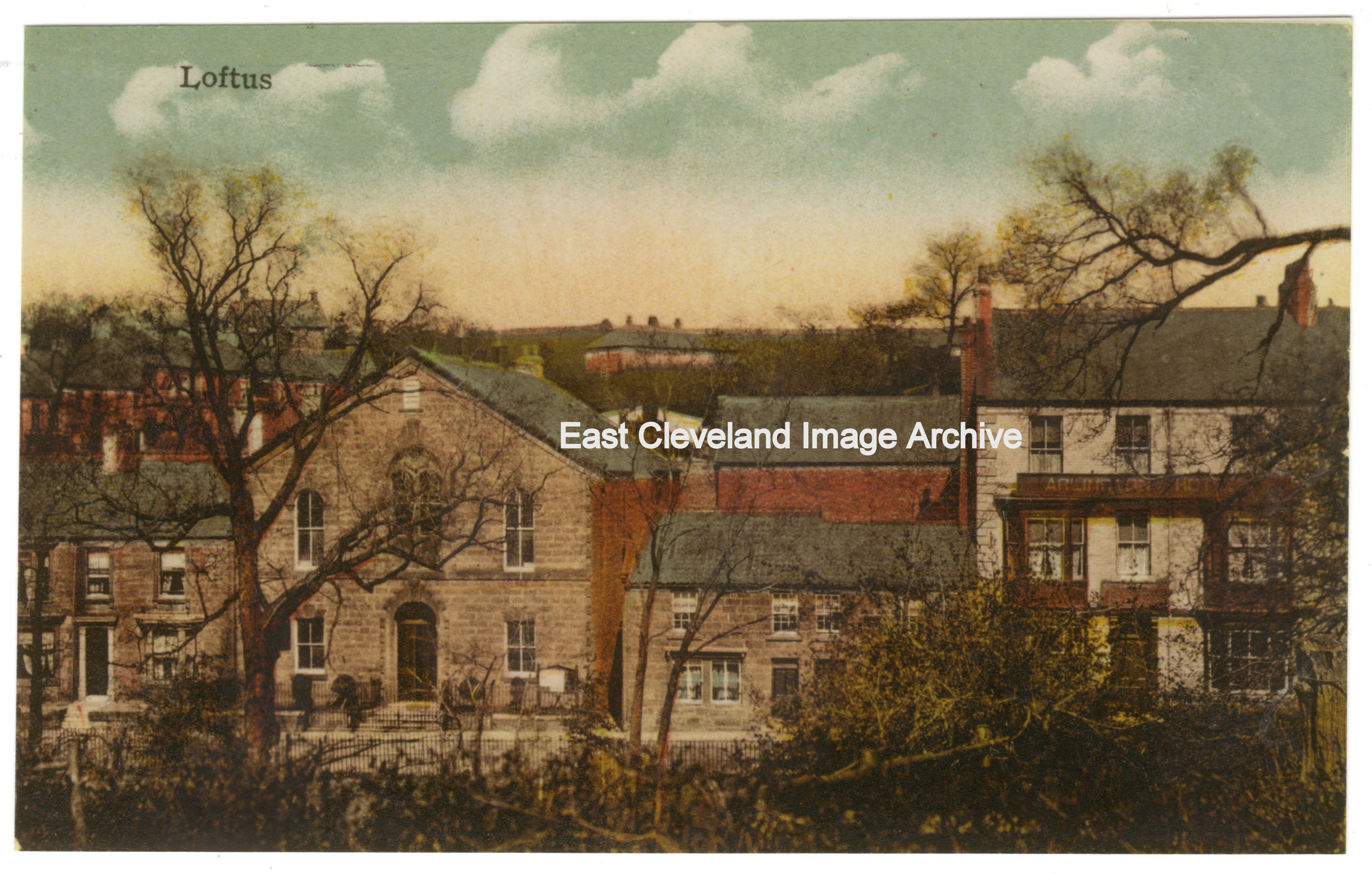 Viewed from Jackson’s field through the woodland bordering it (and long before the Arlington estate was built) this postcard view shows how well the buildings of the Arlington chapel, the double cottages and the Arlington Hotel looked. We have no date for this unused postcard, although it is believed to be George Skilbeck who produced it. It truly gives an idea of what Loftus has lost! Image courtesy of John G. Hannah. 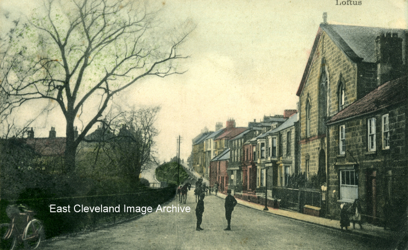 A Salmon Series tinted postcard view of Arlington Street; with the Chapel and bystanders standing in the road. The congregation of the Arlington Primitive Methodist chapel were joined by members of the congregation of the Newton memorial chapel after it was destroyed. It was jokingly said ”It took Hitler to unite the Chapels”. 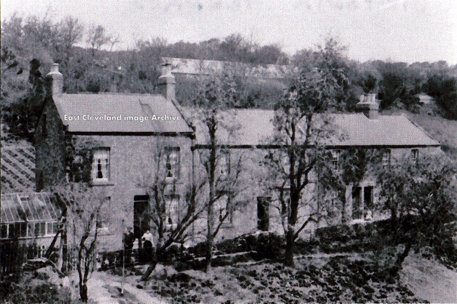 Well here I am once again asking for help, do you know this terrace of houses and where they are? Could it be East Crescent? David Richardson tells us: ”These are the houses at the end of East Crescent, the structure on the hillside behind them is a Nursery.” Image courtesy of Eileen Hicks and many thanks to David Richardson for the update. 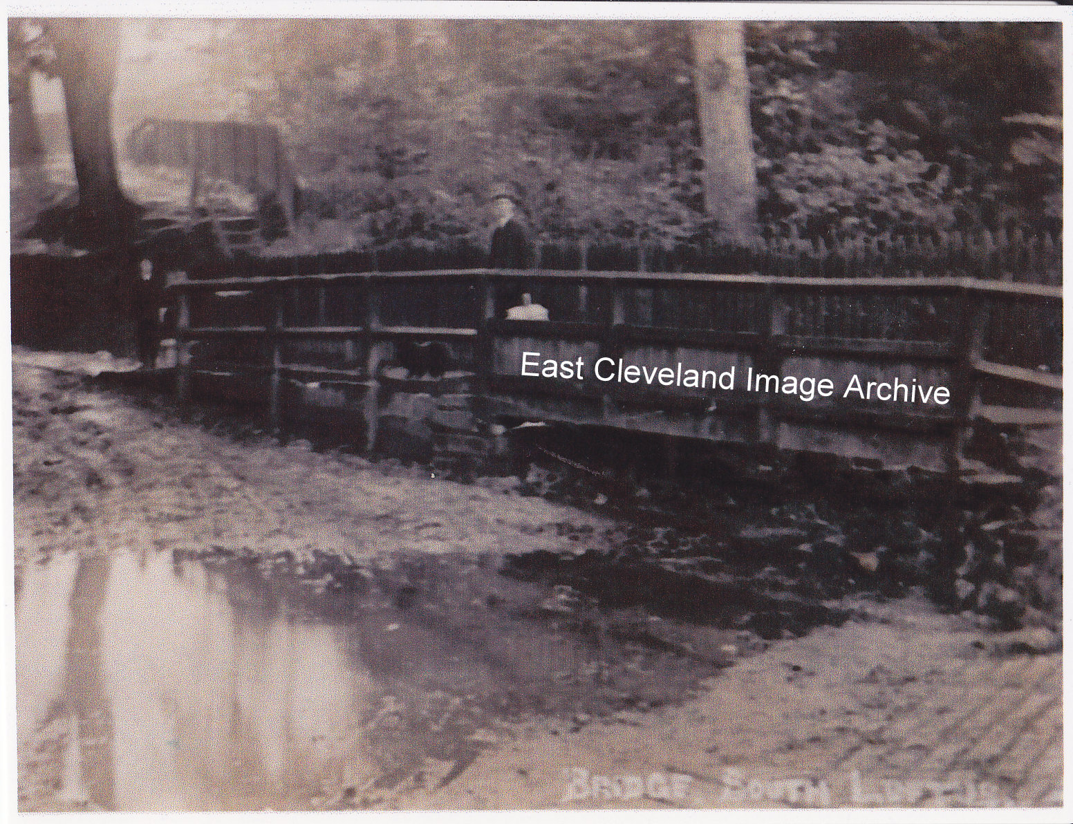 The road that leads to South Loftus looks a muddy mess but of course they wouldn’t have been tarmaced when this photograph was taken. Tina Johnson tells us: ”This was the beck that ran over the road into Espiner’s Wood and the mud was caused by traffic going through the water; the bridge was for people to cross over the beck”. 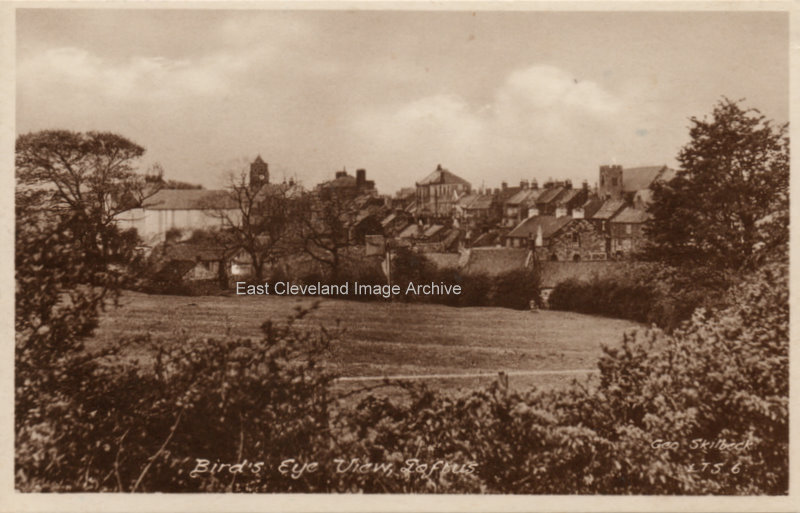 Yes a Loftus view from an unusual place; a Skilbeck postcard view over the field now occupied by the Cromwell Avenue estate, you can see the Town Hall and the church in the background. 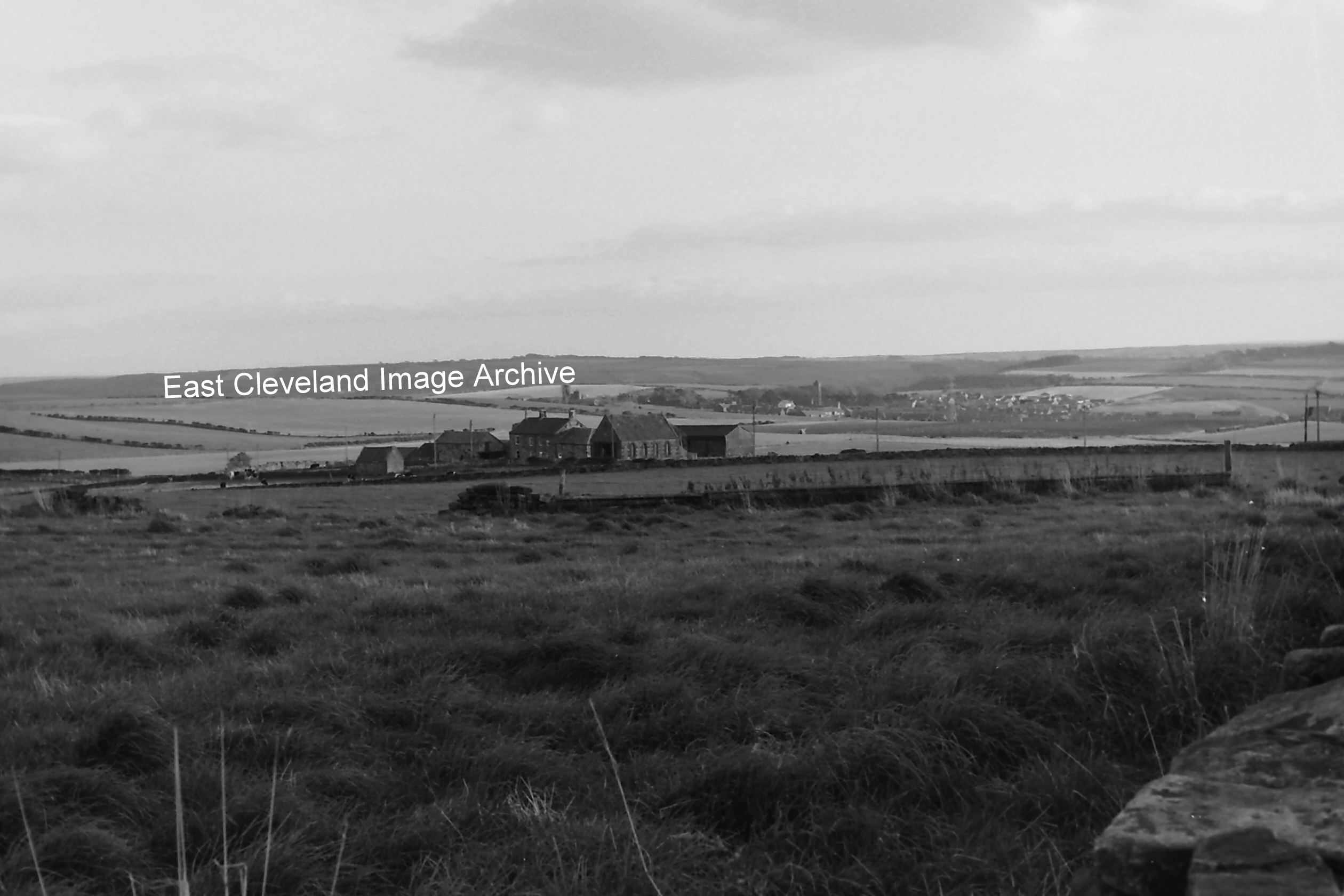 Looking over to Upton Cottages and Street house Farm, in the background the Church and village of Easington is clearly visible. Interestingly enough the area in the foreground is where the Saxon Princess excavations were conducted Image and updates courtesy of Eric Johnson.
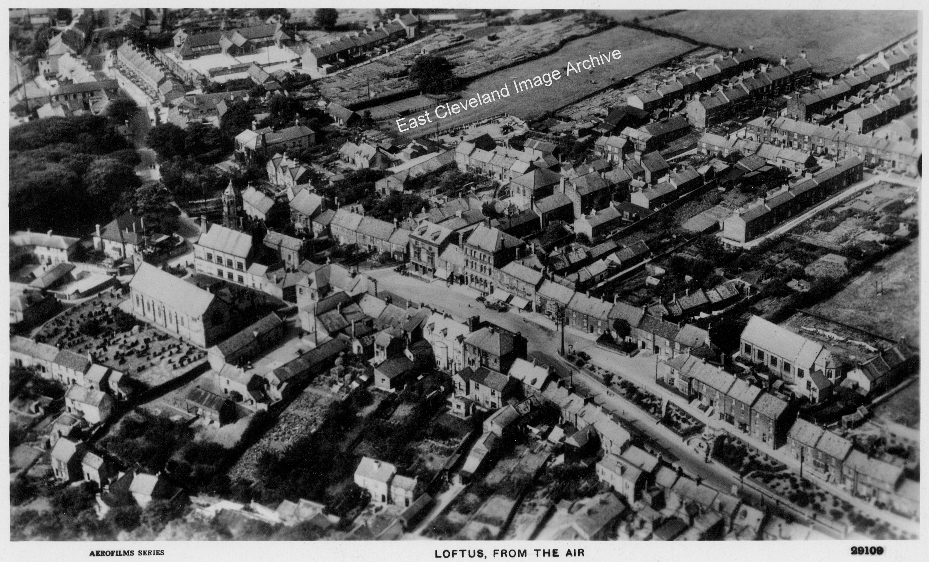
Another lovely aerial view showing a different part of Loftus, any places you recognise? |
||
Recent Comments